Walgreens Development Documents
Back-up documentation (up to July 29) for the Walgreens zoning case, includes
the transcripts from the June 15 ZAP hearing, City Staff's Transportation
Reports (2 versions, July 19 & July 26), land surveys, a "Restrictive Covenant"
drafted by the City's Legal Department, and some diagrams/maps.
To view
this documentation (requires Acrobat Reader),
click here.
SLNA-Walgreens private restrictive covenant.
To view this documentation (requires Acrobat Reader),
click
here
Analysis of traffic impact on Bluebonnet by the proposed Walgreens, prepared by
Bob Thompson of the SLNA Traffic Study Committee.
To view this documentation
(requires Acrobat Reader),
click here.
Supporting visual documents, click on the images for a larger version:
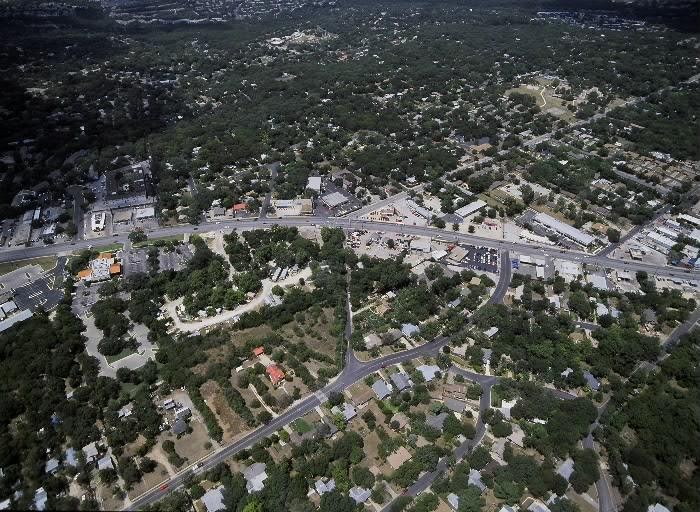
Aerial photo of South Lamar/Bluebonnet intersection, Northwest view
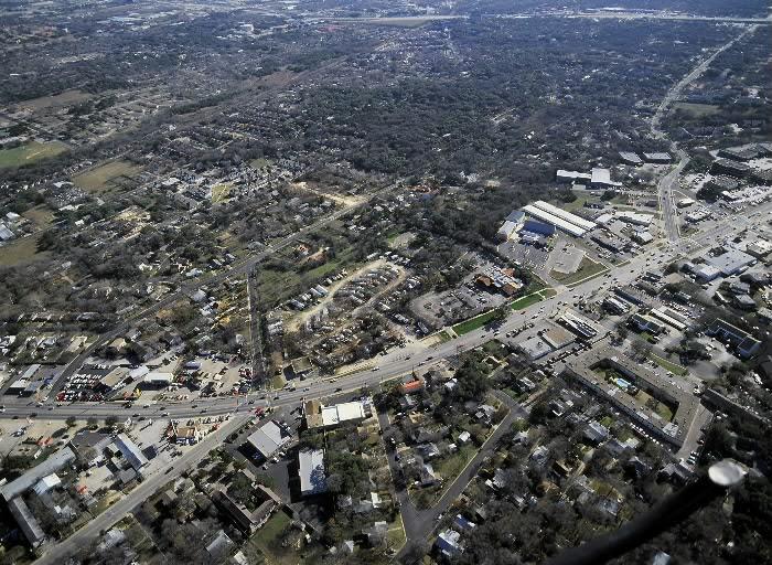
Aerial photo of South Lamar/Bluebonnet intersection, Southeast view
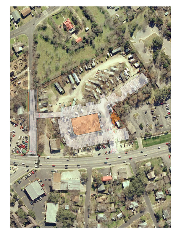
Aerial photo of intersection with site plan overlay, 4/5/2004
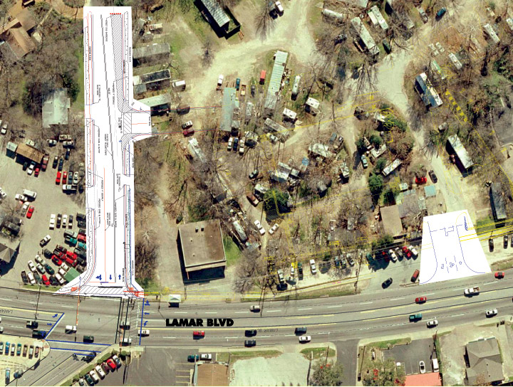
Aerial photo of intersection with road improvements overlay, 4/7/2004
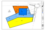
Zoning exhibit with site plan, 3/30/2004 (in PDF format)
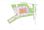
Proposed site plan, 3/30/2004 (in PDF format)
Bluebonnet proposed roadway improvements vs. current road
(in PDF format)
Revised 10/08/04
Proposed Bluebonnet sidewalk improvements, 10/08/04 (in PDF format)
.jpg)
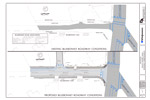
Proposed South Lamar driveway improvements, 10/08/04
.jpg)
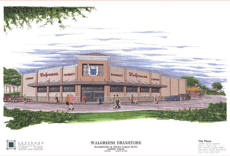
Artist's rendition of Walgreens storefront
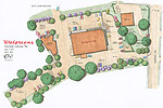
Conceptual landscape plan